
From sirens to cell phones, who sounds the alarm — and when
In the wake of last week’s tsunami watch, many La Conner residents were left wondering: How will we know what to do if a tsunami reaches our shores and where do we get information?
While the waves generated by the July 29 8.8 earthquake in Russia barely lifted local tides — just 0.7 feet in La Conner — officials say it still counts.
“Technically, we did get hit by a tsunami,” said La Conner Fire Chief Aaron Reinstra. “When you talk about a tsunami, it’s not the wave that’s going to hit us. It’s the rise in the tide. Just like a king tide, our first prediction was a 10-foot rise, that put the volunteers on alert.”
“With a 10-foot rise, Town would have flooded,” he said.
Although the situation de-escalated quickly, the experience underscored important questions in local emergency communication and evacuation readiness.
How real is our tsunami risk (really)?
Tsunamis are a series of very long waves typically caused by the sudden uplift or drop of the Earth’s crust during underwater earthquakes. According to Ethan Weller, a tsunami program coordinator with the Washington State Emergency Management Division, all 3,000 miles of Washington state’s shoreline have a tsunami risk.
How the threat is assessed
There are four levels of tsunami messaging, issued by the National Weather Service and other agencies. These levels are determined by how likely an event is and how much damage it could cause. They guide which communication tools local agencies use to alert you, and how you should respond.
The levels are:
- Tsunami warning: Imminent or happening. Evacuate immediately to high ground or one mile inland.
- Tsunami advisory: Tsunami expected; strong currents possible. Stay out of water and away from shorelines.
- Tsunami watch: Distant earthquake may generate tsunami. Stay alert for updates.
- Information statement: No tsunami threat. No action required, but stay informed.
Last week, La Conner was under a watch that was later downgraded to an advisory, so no official evacuation was called.
How you would be notified
Many people reported learning about the tsunami alert on social media and asked the question, what are the official channels for emergency alerts?
There are three: Cell and broadcast systems, the tsunami sirens, and weather radios.
Kevin Jackman, a coordinator at the Skagit County Department of Emergency Management, coordinates alerts to residents for major events like tsunamis and fires. He explained he has three communications channels available for cell phone notifications, which he uses for different levels of severity.
The first is Skagit County’s Code Red Emergency Notification System (Code Red) mobile application, which residents can opt into for alerts by downloading the app from the county website.
“It’s a baseline community notification system for people who voluntarily signed up,” he said. “They get early warning for alerts at a certain lower threshold.”
The next communication channel the county has at its disposal is a public records database wired to the Code Red app. With it, they can push a message to all the registered phone numbers in a specific area.
The last cell phone channel is called the Integrated Public Alert and Warning System (IPAWS). “It lets us push into everyone’s cell phones,” he said, and would be used if a tsunami risk level rises to warning. IPAWS can push alerts to phones, radios and televisions, and to weather radios. Skagit County Chief of Emergency Management Julie de Losada said the alert is loud, similar to an Amber Alert, and all cell phones come preprogrammed to broadcast it. The alerts are sent in English and Spanish.
At that point, the tsunami alarms would likely go off and the Town would post an alert on its homepage, said Town Administrator Scott Thomas.
Most people are familiar with the tsunami sirens, which Skagit County tests once a month by sounding them and following up with a quick message. But de Losada cautioned not to rely on the sirens as the only warning system.
“Not everyone is going to hear the sirens,” she said. “They might not hear them if they are inside the house. They are meant for key areas outside … They are really a short distance and things can obstruct them, like trees. This is not your only sign that you need to evacuate or that there is something critical happening.”
Losada urged everyone to get a NOAA radio and keep it plugged in.
“These radios cost around $20, stay plugged in 24/7, and only sound an alert during emergencies,” she said. “Radio is one of the most resilient communication tools we have, working even if the internet or cell service goes down.”
What to do if you hear a siren
“If people hear that siren and it is not the test siren, they should evacuate,” Losada said. “If the siren says evacuate or seek higher ground, then do it.”
La Conner does not currently have a formal tsunami evacuation map or detailed signage, but residents should know the basics:
- If you feel a strong earthquake shaking near the coast, that’s your tsunami warning. If you are in an inundation zone or anywhere along the coast: drop, cover, and hold on.
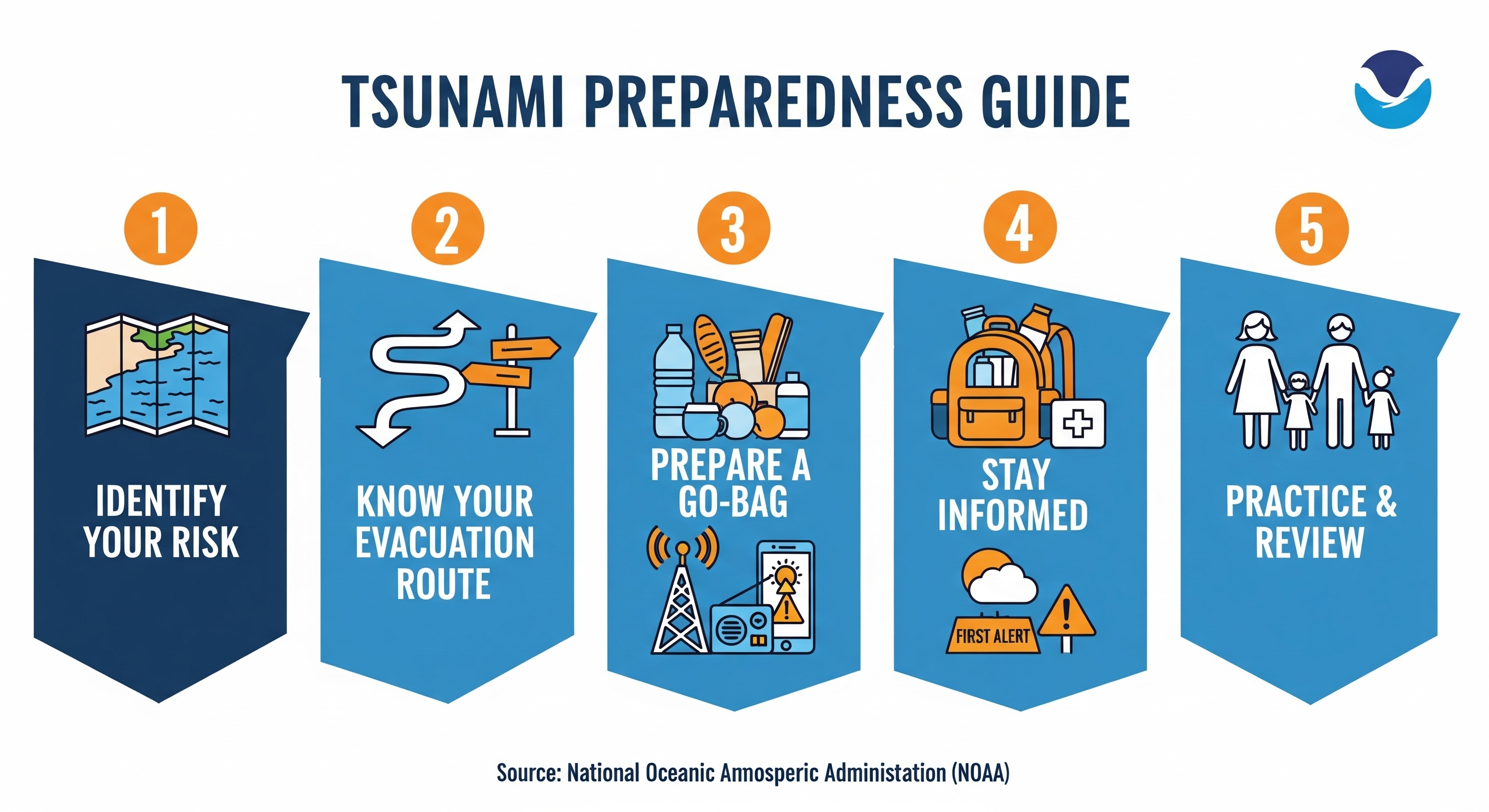
- When the shaking stops, grab your go bag and evacuate on foot to high ground immediately — roads may be blocked or unsafe to drive. Weller said evacuating on foot is your best bet.
- Maple Hall is a general marker — higher than that and you’re considered out of the flood zone.
The hill above town is the safest designated evacuation zone.
Losada urged people to use the monthly siren tests as a reminder.
“We don’t signal the test sirens every month just to make sure they are working,” she said. “Use it as a reminder to check your go kits, remember what would you do with your pets, what would you do with your children. These are all the things we want to be talking about.”
Kari Mar is the editor and publisher of La Conner Community News.
Staci Baird is the managing editor of La Conner Community News.
